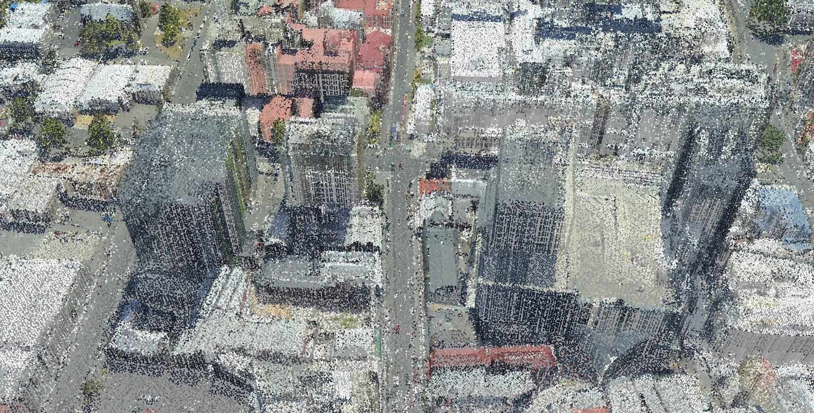
Liverpool Street, Hobart CBD
Three airborne surveys, 2008 to 2024, fused into one true-colour city
- 3 passes agree After alignment, both other passes measure the surface height within 15 cm of the reference pass.
- 2 passes agree After alignment, two passes measure the surface height within 15 cm of each other.
- Single pass Measured, not cross-checked: one pass reached it, or it lies below the top surface, such as under canopy.
- Change detected Passes differ by more than 15 cm: real change, or disagreement between surveys. Change maps test it separately.
- Modelled Filled by geometric modelling where no pass measured, such as walls. Flagged, never counted as confirmed.
Showcase: GroundMap processing of public survey data, not client work. Survey data: Hobart City 2023/24 (captured by Fugro for the State of Tasmania; theLIST; CC BY 3.0 AU), Climate Futures Derwent 2008 (captured by DiMAP for ACE CRC; ACE CRC licence) and Mount Wellington 2011 (no licence on record), via ELVIS. Processing: GroundMap.
Resident points—
Visible tile points—
GPU data—
Frame ratePaused