
Hobart, Tasmania · true colour from the Hobart City 2023/24 survey · Showcase
Services
What we do
Australia-wide LiDAR processing and correction: any sensor, any provider, fused into one graded model, with accuracy measured and stated on every job. Capture on every platform, to our specification.
Services

LiDAR processing
Any sensor, any provider, any specification.
↗

GroundMap Fusion™
Every pass and survey in one graded model.
↗
Archive LiDAR
Decades of surveys, made consistent.
↗
Quality assurance
Independent checks of any provider's LiDAR.
↗
Terrain and surface models
DTM, DSM, contours and relief.
↗

Change and volumes
What moved, where, and how much.
↗
3D models and digital twins
Cities, sites, tunnels and assets in 3D.
↗
LiDAR capture
Airborne, drone, terrestrial, mobile and underground.
↗Imagery
Aerial, drone, oblique, multispectral and thermal.
↗- Delivered to ICSM v2.0, LAS 1.4 and GDA2020 / AHD, or to your contract specification.
- 98.7 % · where two or more scans overlap, each scan within 1 cm of the shared surface · El Teniente
- 13.2 mm · held-out median mismatch between two survey campaigns · Satsop
- Accuracy is measured on every job and stated per job. Accuracy
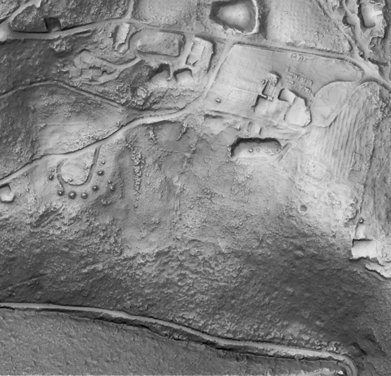
Archive LiDAR tile: Hobart-area terrain relief. Survey data: Hobart City 2023/24 (captured by Fugro for the State of Tasmania; theLIST; CC BY 3.0 AU), Kingborough 2022 (no licence on record), South East 2011 (theLIST; CC BY 3.0 AU) and Mount Wellington 2011 (no licence on record), via ELVIS. Processing: GroundMap. Quality assurance tile: Satsop plant main level by confidence. Showcase: GroundMap processing of public survey data. Survey data: DARPA Subterranean Challenge (Urban Circuit, Satsop, Washington, February 2020) / US Army Research Laboratory (no licence on record). Processing: GroundMap. No affiliation with the site owner or the survey teams.