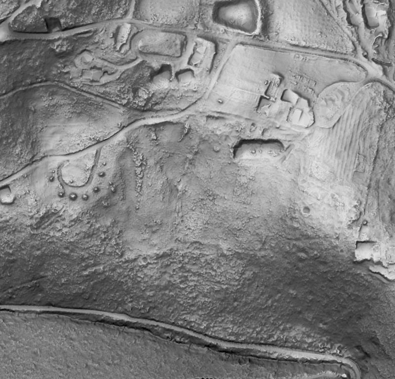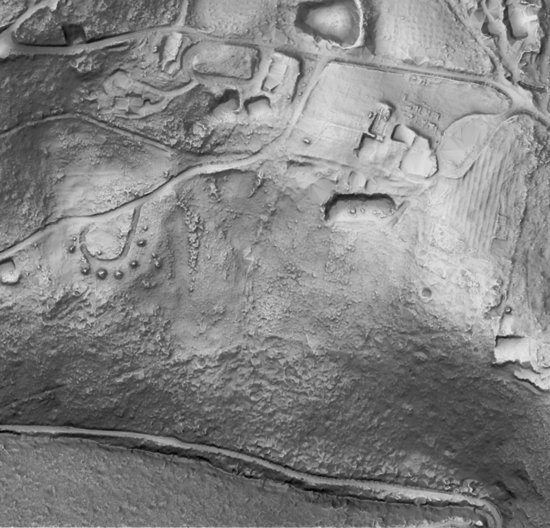
Hobart-area terrain · one survey in shaded relief · Showcase
Processing
Archive LiDAR
Decades of earlier surveys, from your own archive or any program, corrected onto one frame and turned into a consistent record of how the ground has changed.
Most ground worth knowing has been flown before, often several times, by different programs, sensors and specifications. On its own each survey is a snapshot with its own errors. Brought together properly, they become a record.
We co-register every earlier survey to a common frame, correct the height differences between survey eras, and grade every point. Then we put that record to work: change since the first survey, volumes moved, ground revealed under canopy, and a baseline for every capture that follows.
Deliverables
- Inventory of every survey over the site: date, sensor, density, licence
- Co-registered, era-corrected point clouds and terrain
- Change and volume layers between epochs
- Lineage report: what each survey contributed
Applications
- Baselines for approvals and closure
- Long-term coastal, slope and landform change
- Due diligence on acquired sites
- Adding history to a new capture (Fusion Archive)
Before / after
One survey,
four fused
Hobart-area terrain: four surveys, 2011 to 2023/24, fused · Survey data: Hobart City 2023/24 (captured by Fugro for the State of Tasmania; theLIST; CC BY 3.0 AU), Kingborough 2022 (no licence on record), South East 2011 (theLIST; CC BY 3.0 AU) and Mount Wellington 2011 (no licence on record), via ELVIS. Processing: GroundMap. Showcase: GroundMap processing of public survey data.