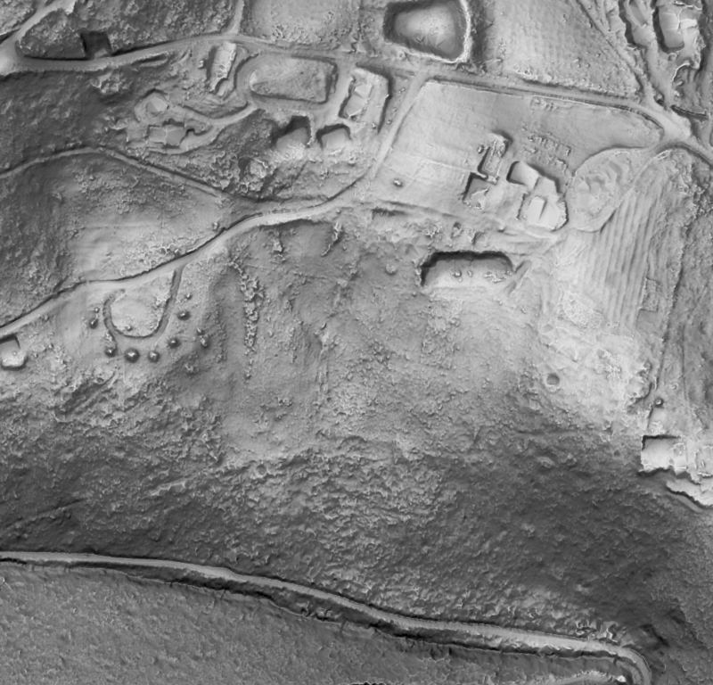
Queens Domain, Hobart · bare earth by slope, 2 m and 10 m contours · Showcase
Products
Terrain and surface models
Digital terrain and surface models, contours and relief at the resolution, datum and format your project needs.
We build bare-earth terrain models (DTM) and surface models (DSM) from classified ground and first returns, with breaklines, hydro-flattening and contours where specified. Interpolated areas are recorded, not hidden.
Built on a fused, multi-pass ground, a terrain model has more ground points under vegetation and between flight lines than a single pass can give.
Deliverables
- DTM and DSM rasters (GeoTIFF / COG), GDA2020 / AHD or your datum, any resolution the data supports
- Contours, hillshade, slope and aspect
- Interpolation and void masks
- Hydro-flattened and breakline-enforced surfaces on request
Applications
- Earthworks design and site planning
- Flood and catchment modelling
- Geological and geomorphological mapping